Where the Buffalo Roam
/Hiking Rocky Mountain Arsenal National Wildlife Refuge
In March 2007, while many Denver-ites celebrated their Irish-ness, guzzling green beer, the heavy hooves of 16 bison churned into the dirt ten miles east of the city center. These were the first bison to set foot here in over a century. Their return was made possible by the efforts of the US Fish and Wildlife Service and Shell Oil Company as part of a US Army chemical manufacturing site restoration now called the Rocky Mountain Arsenal National Wildlife Refuge (RMANWR). On maps of Denver, the Refuge fills a surprisingly large block of green color northeast of downtown. Twenty minutes or less from almost anywhere in the city, the RMANWR allows hikers like me to sample the great outdoors with a quick escape, and to feel even more connected to the wild by viewing the small herd of bison that has prospered here since their St. Patrick's Day arrival.
I started my visit to the Refuge at the Pat Schroeder Visitor Center just inside the southwest entrance. The newly constructed building has the requisite gift shop, auditorium, and museum, familiar to most visitor centers. The exhibits in the museum revealed a surprisingly rich history to me, from its earliest paleoindian inhabitants, to the subsequent evolution that includes time as a homestead for immigrant farmers and ranchers in the 1860s, a US Army chemical weapons manufacturing facility in the World War II era, one of the worst EPA environmental disaster sites in the 1970s, and a diverse restoration effort in the 1990s to become one of today's largest urban National Wildlife Refuges. The visitor center also has a little desk staffed by volunteers that told me where I might best see the bison. After getting the update at the visitor center I took time for the short scenic drive into the bison pen. Just after passing through the gate in the 10-foot high wire fence I saw a collection of mule deer grazing in the fresh springtime forage, their namesake ears having no doubt heard me coming long before I spotted them. At the next turn and within twenty yards of the road I came upon the herd of about 30 visible bison. Shaggy of fur, sharp of horns, and with a nonchalant demeanor, the beasts leisurely browsed through the prairie. From the safety of the car I could snap a few photos and observe the behavior of these large inhabitants of the plains and symbols of the West. It's good to have them back after a long absence.
Turning off a side road from the wildlife loop I stopped at the "contact station", a name as utilitarian as its design, where a parking lot served as a trailhead to multiple different trail loops. My own hiking route led down a freshly-burned embankment to the cattail-ringed shores of Lake Mary. After circling the lake, the Prairie Trail meandered through a large water diversion culvert, under some high-tension electrical wires, and up to higher ground, a grassy expanse that served as a home for curious and communicative prairie dogs.
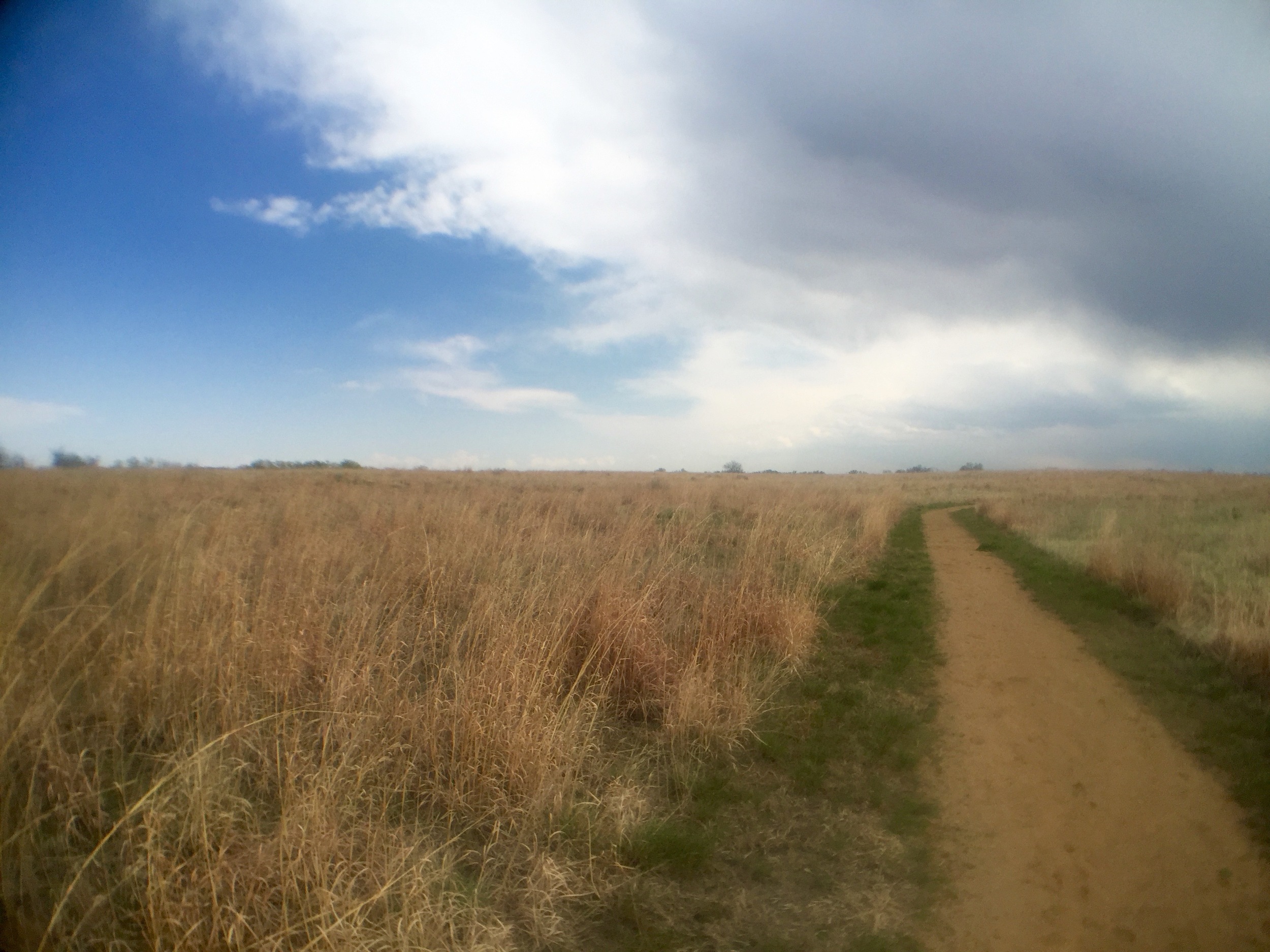
Tall clouds piled up above in the western sky while smaller clouds of mosquitos swarmed around my head, though I seemed to remain generally bite-free. Perhaps it was the easterly prairie breeze that kept the mosquitos at bay. The same breeze held two distant raptors aloft, circling, their keen eyes certainly seeing me more clearly than I could see their forms high overhead.The prints of deer hooves in the soft dirt led along the same trail that I followed. Oddly-shaped and mysterious concrete forms lay sporadically off this section of the trail, a remnant of some unknown past use here; now one more secret of the Refuge. Perhaps they marked the course of an old ranch road or maybe parts of the structure of a cold-war bunker.
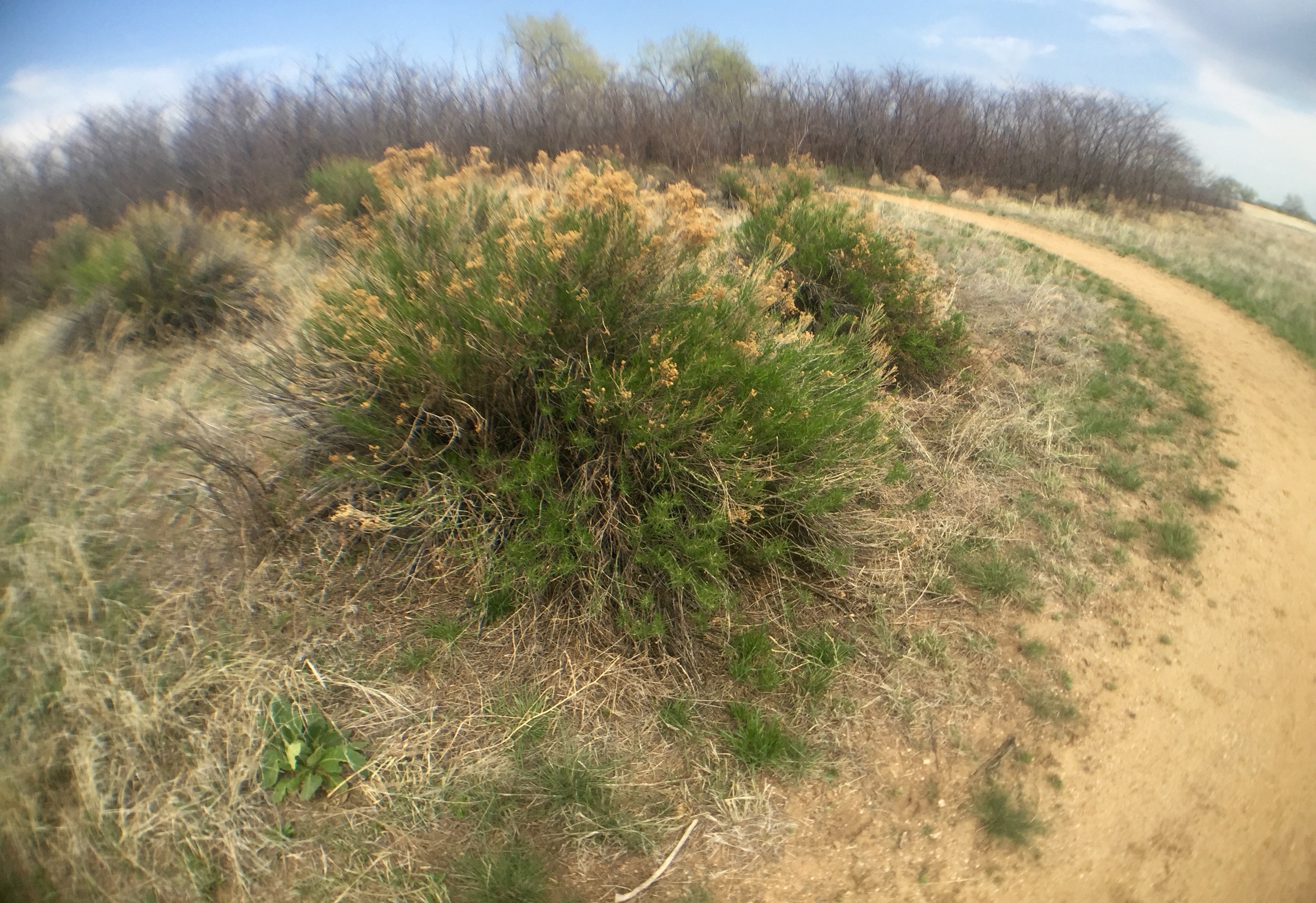
After about one mile, A short wooden-and-rope bridge spanned an irrigation ditch and then the trail crossed pavement to a segment that became more abandoned roadway then single-track dirt trail. This stretch of the hike traversed intermittent groves of shaded sumac tree yet to leaf in for the season. The butterflies seemed to like these thickets as I began seeing them in great numbers here. One, a small white butterfly flitted left and right before me with what appeared to be great effort. A larger black butterfly paused for a brief rest on the ground ahead of me before continuing on it's afternoon travels. The trail passed a square meadow surrounded by neatly placed cottonwood trees that, on past visits to the refuge had sheltered herds of deer, though on today's visit none were to be seen. A red-breasted robin flew from the ground to a a nearby tree as I approached. Perhaps more than any other bird, the robin symbolizes spring for me, and its presence assured me that winter was quickly ending here on the Colorado plains. The whole trail through the refuge in fact was resplendent with bird life. No silence on the plains here with all the lively bird calls filling the air with cheerful melody.
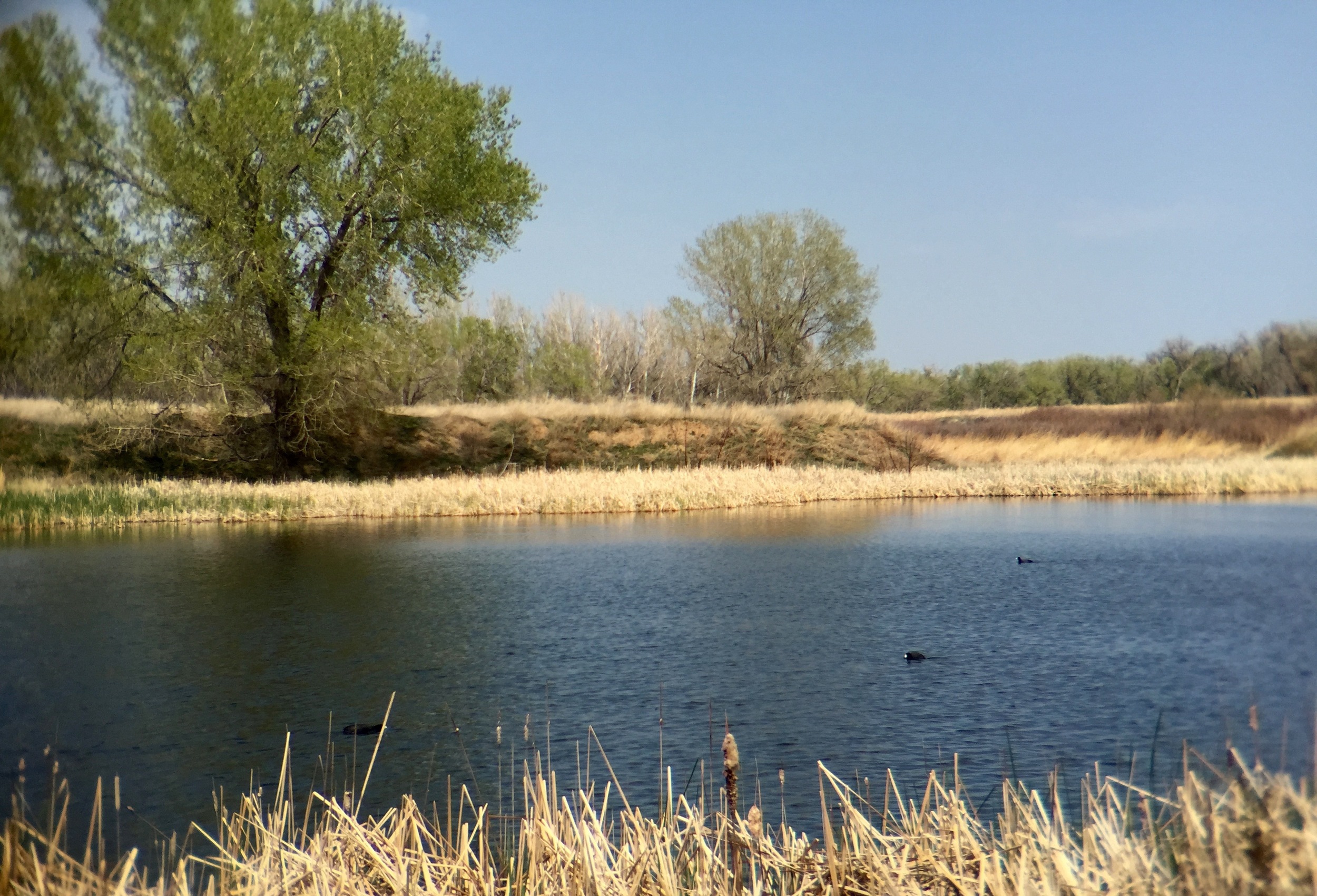
Here the landscape rose and fell like a swelling sea, undulating with swales and hummocks carpeted by tall grasses rustling in the air. Ducking again into sumac shrubs the snapping sound of fleeing grasshopper wings smacked in the air as they leapt away from my passing. I was approaching a wetland, the farthest point of today's hike, and the croaking of frogs began to enter my awareness. At a deep puddle off came my shoes and socks followed by an ankle-deep wade to access the bird blind set in the marshy soil beside the ponds. Through the openings in the wooden wall of the blind I spotted American coots, their white faces and dark bodies bobbing on the surface of the pond. Mallards, and other ducks also criss-crossed the pond. A white-tailed deer bounded away from the shore. This idyllic scene alone was worth the effort it took to reach this place. And on the outskirts of a community of two-and-a-half million people, I had it all to myself.
On the way back along the trail, I was reminded of my proximity to the largest city between Chicago and Las Vegas. Emergency sirens wailed, the roar of airline engines screamed overhead, high-tension wires criss-crossed the view, and I could spy manufacturing centers and warehouses through the trees to the south. Still, my immediate surroundings felt wild. I turned right down a segment of trail that had been closed since recent floods, a quarter-mile stretch along an old road. The terrain was easy to traverse by foot and I was uncertain about why the trail had been closed to public use. Dry leaves crunched underfoot, and an unsual red-orange grasshopper sprang along in front of me for a few minutes as if showing me the best way through this section. The trail again crossed a road and picked back up along the shore of Lake Ladora. Above the water a red-winged blackbird chased a companion through the air. Across one arm of the lake, the trail used a floating bridge above the lake.
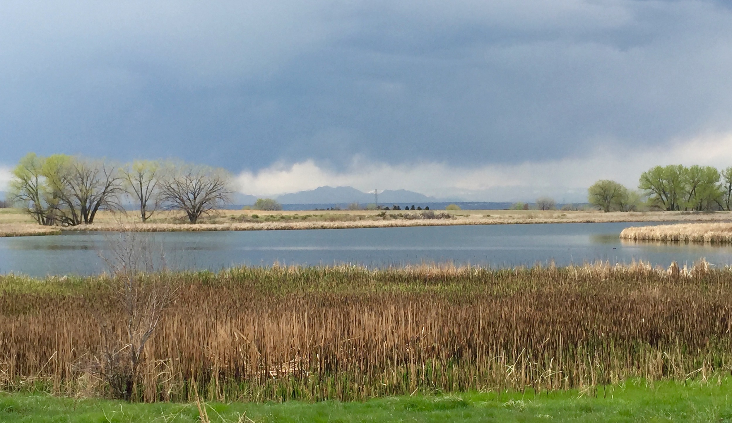
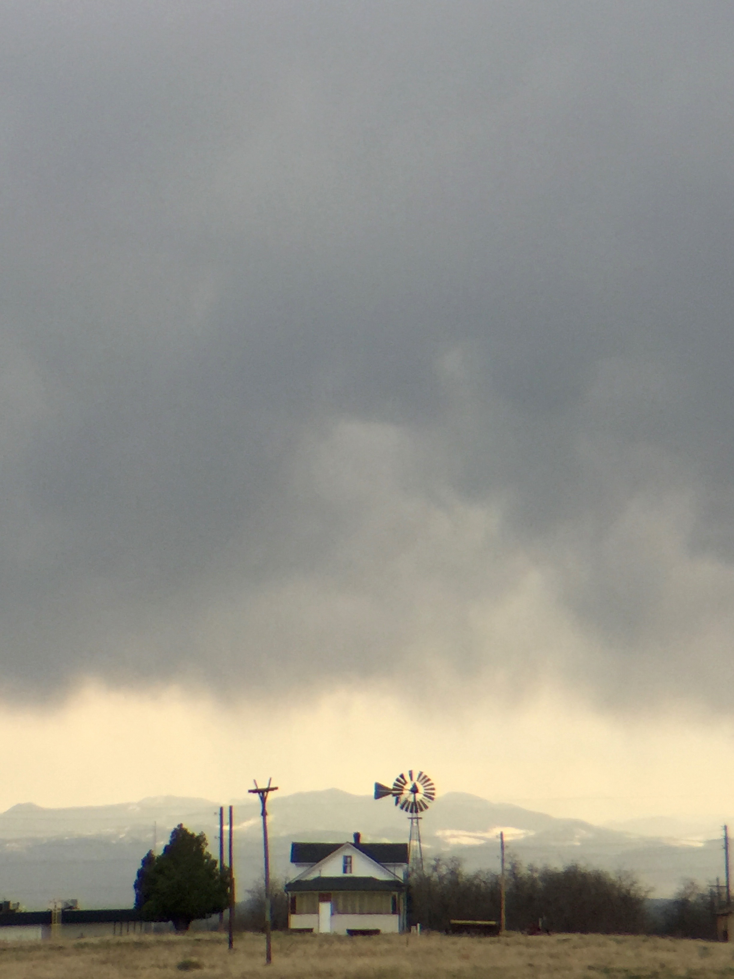
The wind shifted and now the western clouds heaped up and darkened in a way that threatened to unleash a torrent of rain. In the distance virga, a phenomenon that occurs when falling rain dries up before it reaches the ground, hanging like a natural curtain. The looming clouds raised concerns that I might finish this hike with a soaking. In the distance an old farmhouse and windmill stood as another reminder of bygone eras at the Refuge. The air absolutely filled with trills, tweets, whistles, chirps, and twitters from it's winged residents as I looped Lake Ladora back to the trailhead. Back at the contact station, I dove into the car just as raindrops began splattering from above. The short drive through the rain back past the visitor center and to the Refuge's exit returned me almost immediately to the surroundings of the urban landscape. The transition jarringly contrasted the natural landscape that I left behind in the Refuge. There wasn't disappointment with the change however. Rather, I felt thankful to have a place so close to home to be immersed in the kind of wildness that comes with big skies and bird song. And roaming buffalo.
Your Turn
The RMANWR is open from sunrise to sunset 7 days a week (closed on Thanksgiving, Christmas, and New Year's Day) but the visitor center is only open from Wednesday to Sunday from 9:00 AM to 4:00 PM. As a National Wildlife Refuge, Rocky Mountain Arsenal limits some activities including, biking, running, pets, and hunting. Fishing is allowed on Lake Ladora and Lake Mary and requires a Colorado fishing license and an additional RMANWR permit ($3.00 at the contact station). Occasional tours are offered by park staff. More information is available by calling (303)289-0930.
P&P Extra:
On adjacent land that was once also a part of the US Army site, the community of Commerce City built a sports stadium that is now home to the Colorado Rapids professional soccer team. The site has also hosted rugby and lacrosse events and occasional music concerts. If planned well, you could follow your visit to the refuge with rooting for the home team during an exciting Rapids home game at Dick's Sporting Goods Park and have an "only-in-Colorado" experience.

