Hey Big Chief!
/Snowshoeing Chief Mountain
Though the celebration of the New Year was delayed by a day due to unexpected professional obligations, Maura and I loaded up the car with packs, snowshoes, water bottles, food bags, first aid kits, hats, gloves, coats, boots, the dog, and a thermos full of cocoa, and headed into the mountains. We quickly ducked away from Interstate 70 (knowing that today would be a big travel day on the popular mountain corridor) and steered south toward Evergreen then on up Squaw Pass Road to the trailhead for Chief Mountain. Chief Mountain offers a unique summit for Denver-based adventurers. Though thousands of feet lower than the high peaks of the region it still stands up tall by itself and provides 360 degree views from the Continental Divide to the Great Plains. It gets you into the alpine environment with a brief drive and a modest effort. In short, it is perfect for a New Year snowshoe adventure!
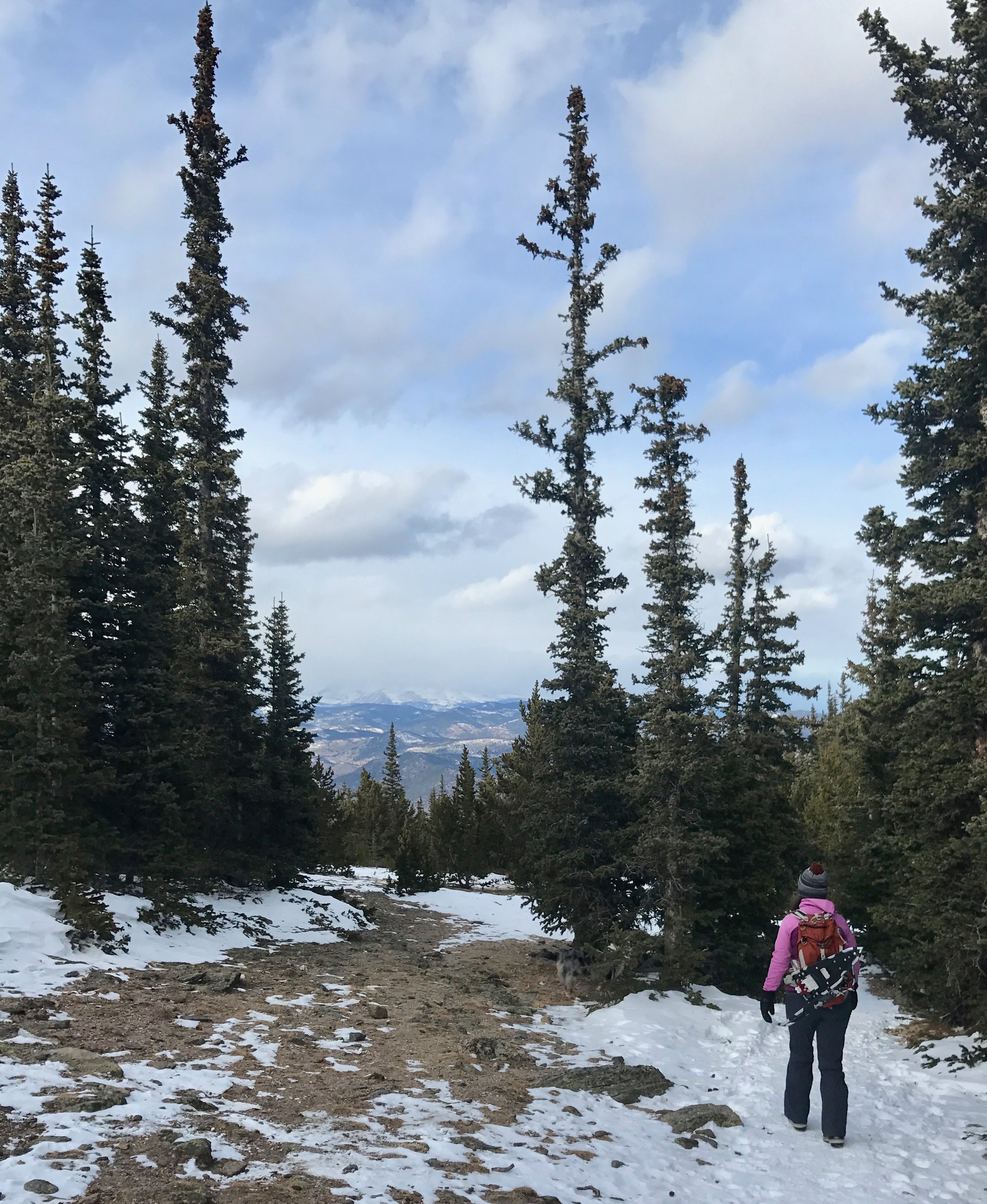
The trailhead, an unmarked though sizable pullout on the right side of the highway just past the turnoff to Echo Mountain Ski Area, can be tricky to catch if you haven't been to the trail before but once found, gaining the trail is a simple matter of crossing the two-lane mountain highway to what on this day happened to be a snowy ramp that lifts you over the road cut made by the highway and into the dense forest above. Along the open cut of the road the views come quickly, the rumpled Front Range foothills spreading below to the north and west. The highest peaks of the divide were obscured by clouds during our day on the trails so we did not get views of Longs Peak far to the North in Rocky Mountain National Park or of the summits of the Indian Peaks and James Peak Wilderness areas but higher on the trail we caught glimpses of area 14ers including Grays Peak, Torreys Peak, and Mount Evans.
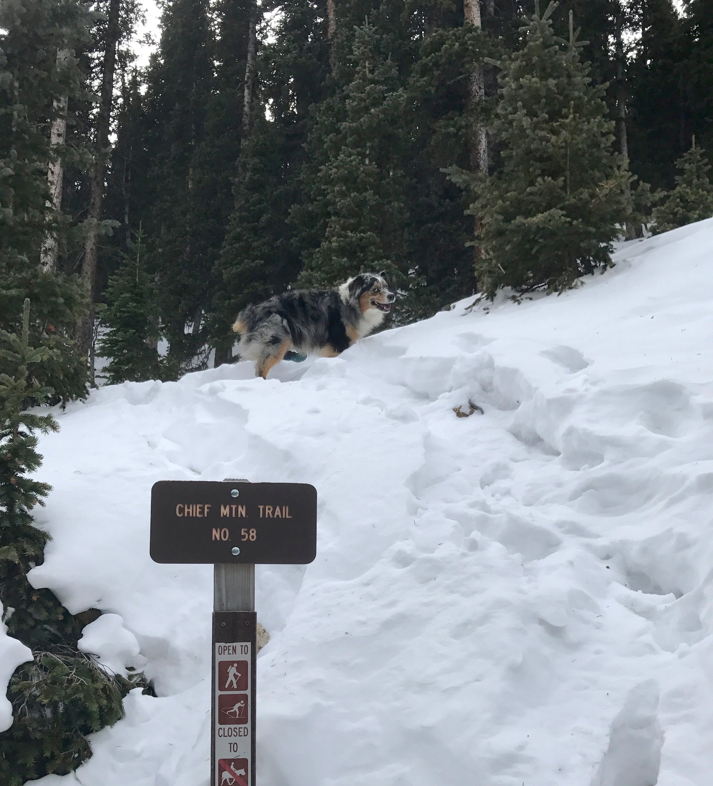
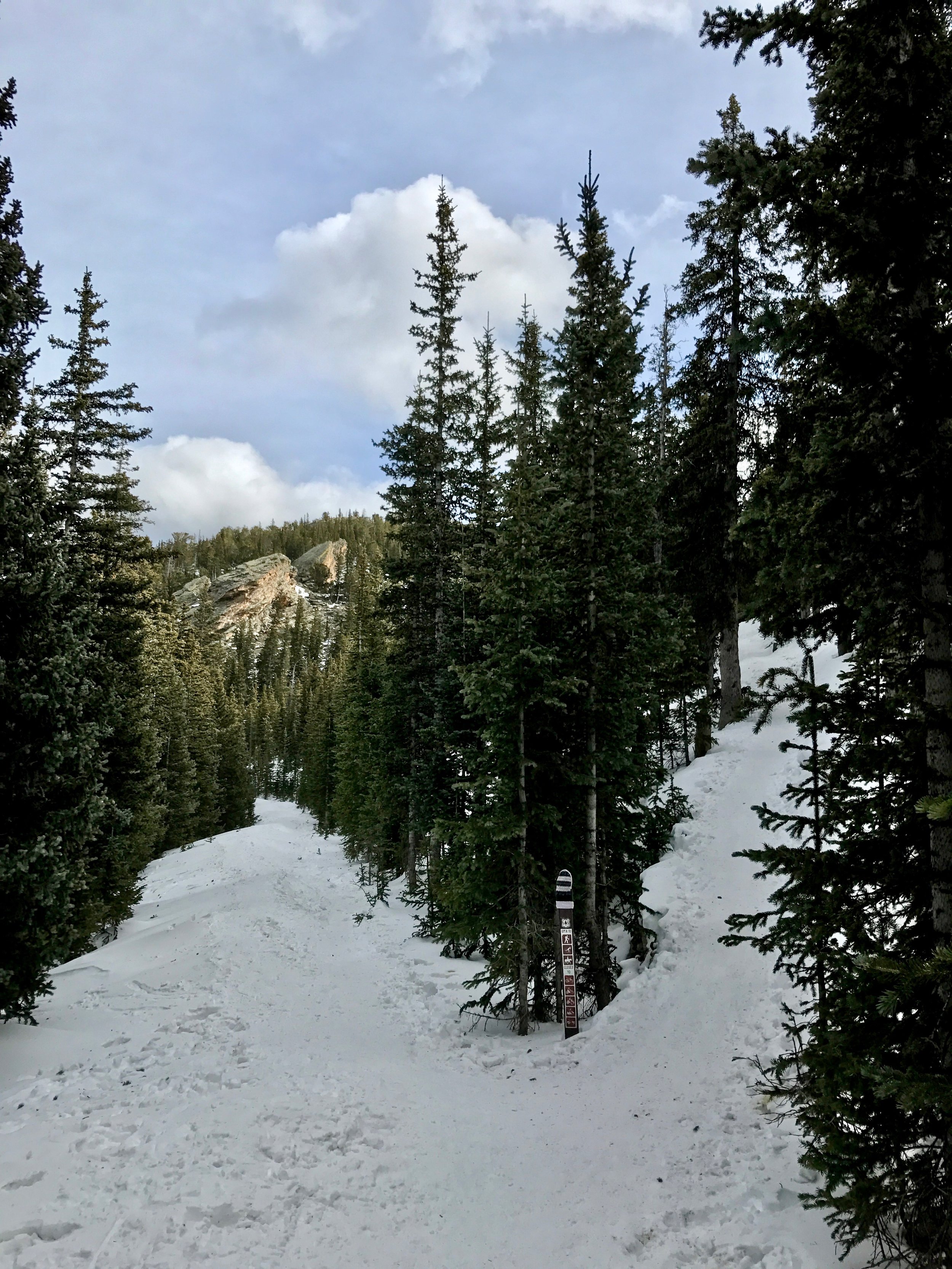
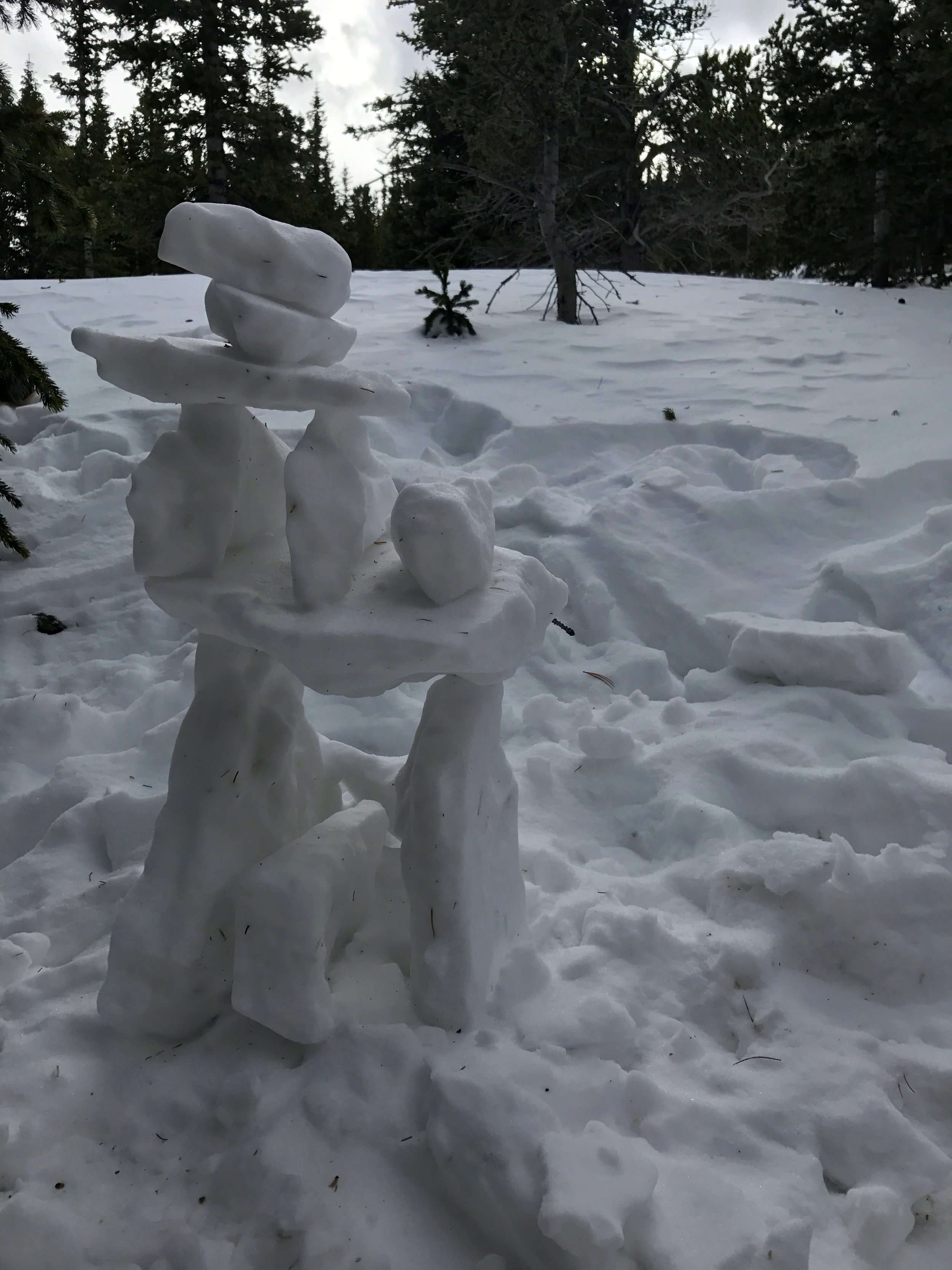
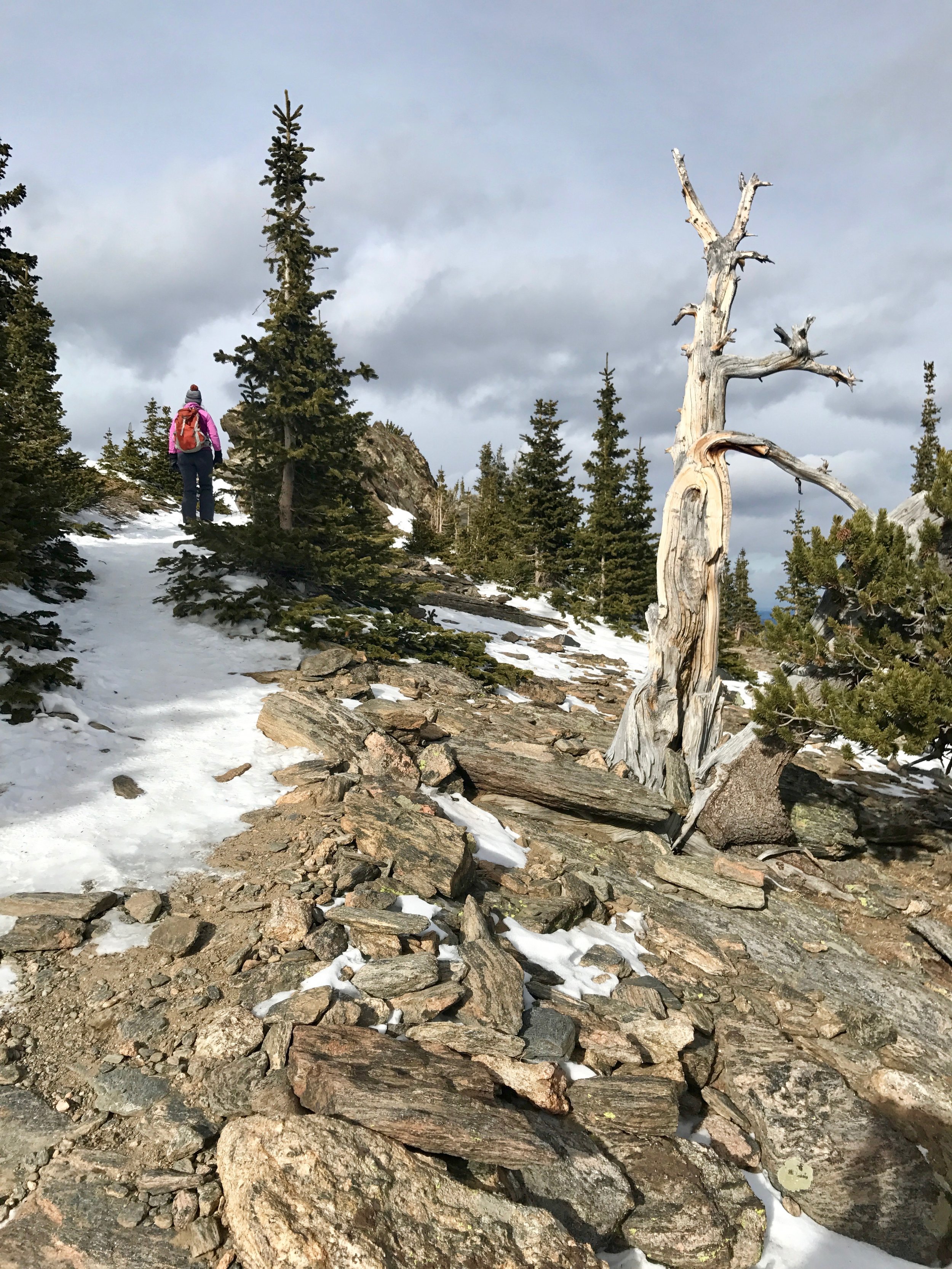
But for now the trail stuck to the dense forest spreading over the north side of Chief Mountain. After a short but steep climb. we came to the junction with Old Squaw Pass Road, the route that preceded the new Squaw Pass Road, also known as Colorado 103, our smooth asphalt path to the trailhead. The Old Squaw Pass Road is relatively flat and, if accessed from one end or the other can be skied as an easy 8-mile out-and-back. The Chief Mountain Trail, continuing up from the old road grade is quite steep if you are on skis, but our snowshoes were just right for the journey. Wembley, Maura's Australian Shepherd, had on his new snow booties, an accessory to which he has become reluctantly accustomed to despite it's far-more-slippery surface when compared to his native paws. Continuing our steady climb, we made adjustments to our many layers of specialized apparel to stay warm without overheating and comfortable without getting cold, a balance that requires experience to get just right on a day like today with the combination of weather and exertion which we encountered. Another junction lay ahead and we discovered the right route after being greeted by some other snowshoers and dogs making their way down. More time in the woods led to one more switchback whereupon the setting of the hike changed drastically. Treeline. As the stunted trees gave way to barren rock, and windblown snow, the grade of the trail further steepened. This added pitch, though intimidating, was tempered because the final summit block came quickly into view. Due to the violent winds that assail Chief Mountain, the trail here was mostly dry. We dropped our snowshoes and placed them off the side of the trail to collect them on the way back down, and proceeded with just our winter boots. We also removed Wembley's booties who celebrated with a vigorous sprint through the tundra. He loves the snow and his sprint was occasionally interrupted with a face-first plunge into a snowdrift followed by a belly-up wriggling, the closest he can get to making snow angels. They look more like snow holes. One more long switchback brought us to a small grove of bristlecone pines, trees known for their stout resistance to death in extreme conditions and some of the oldest living things on Earth.
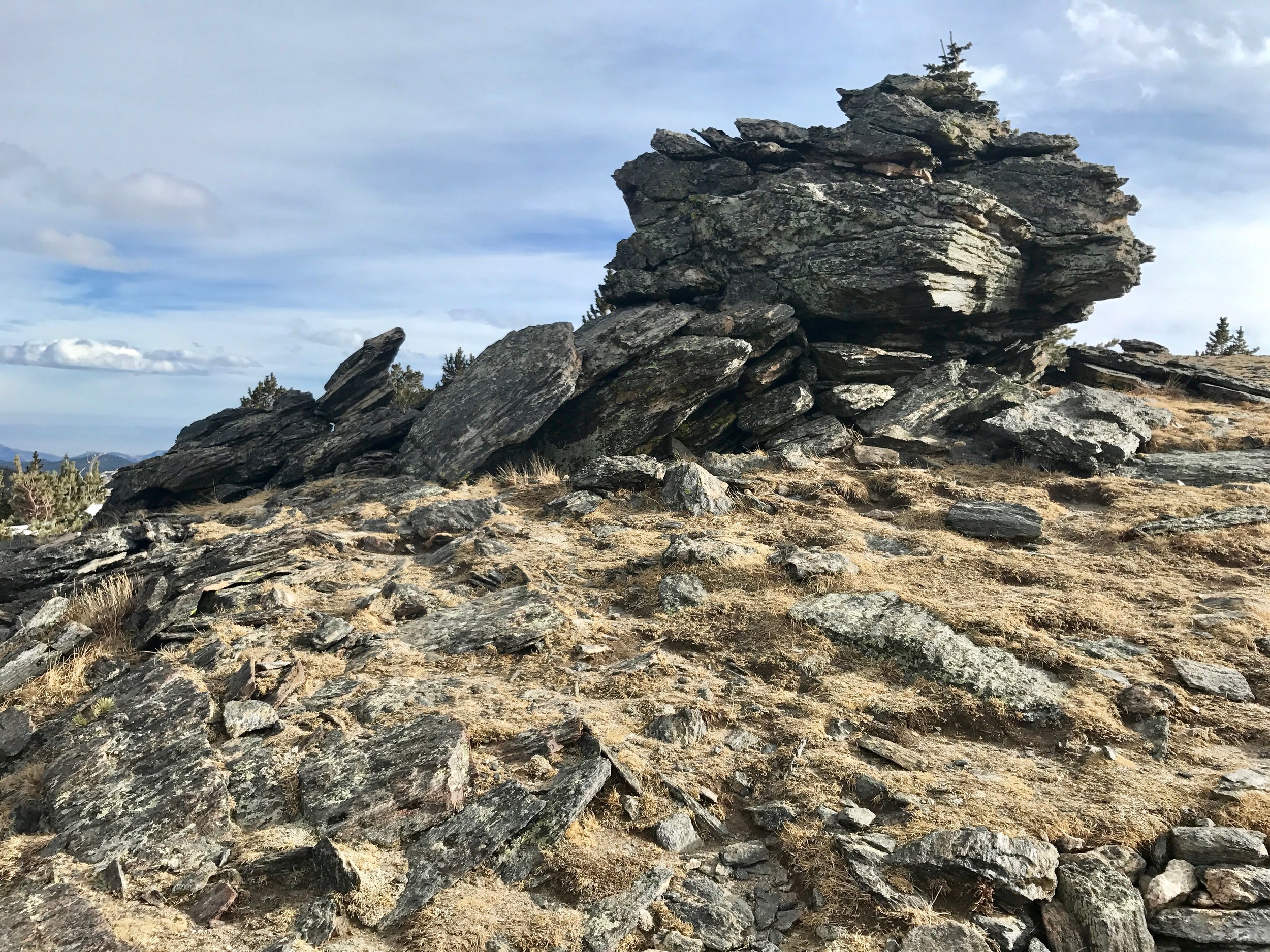
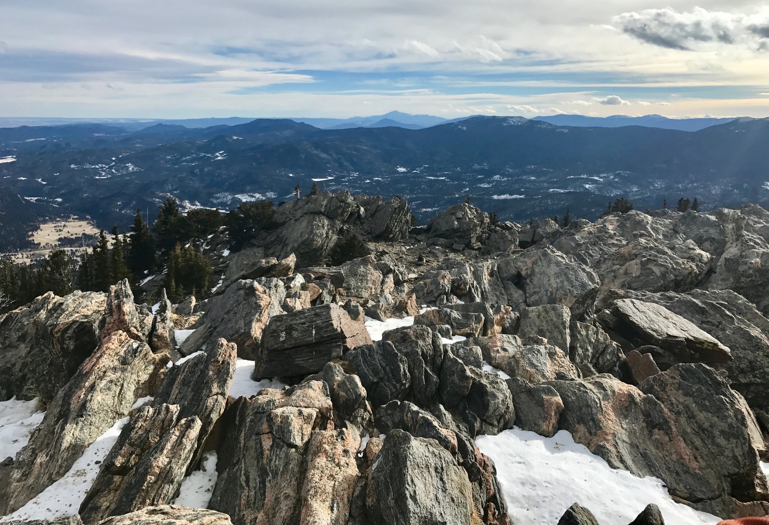
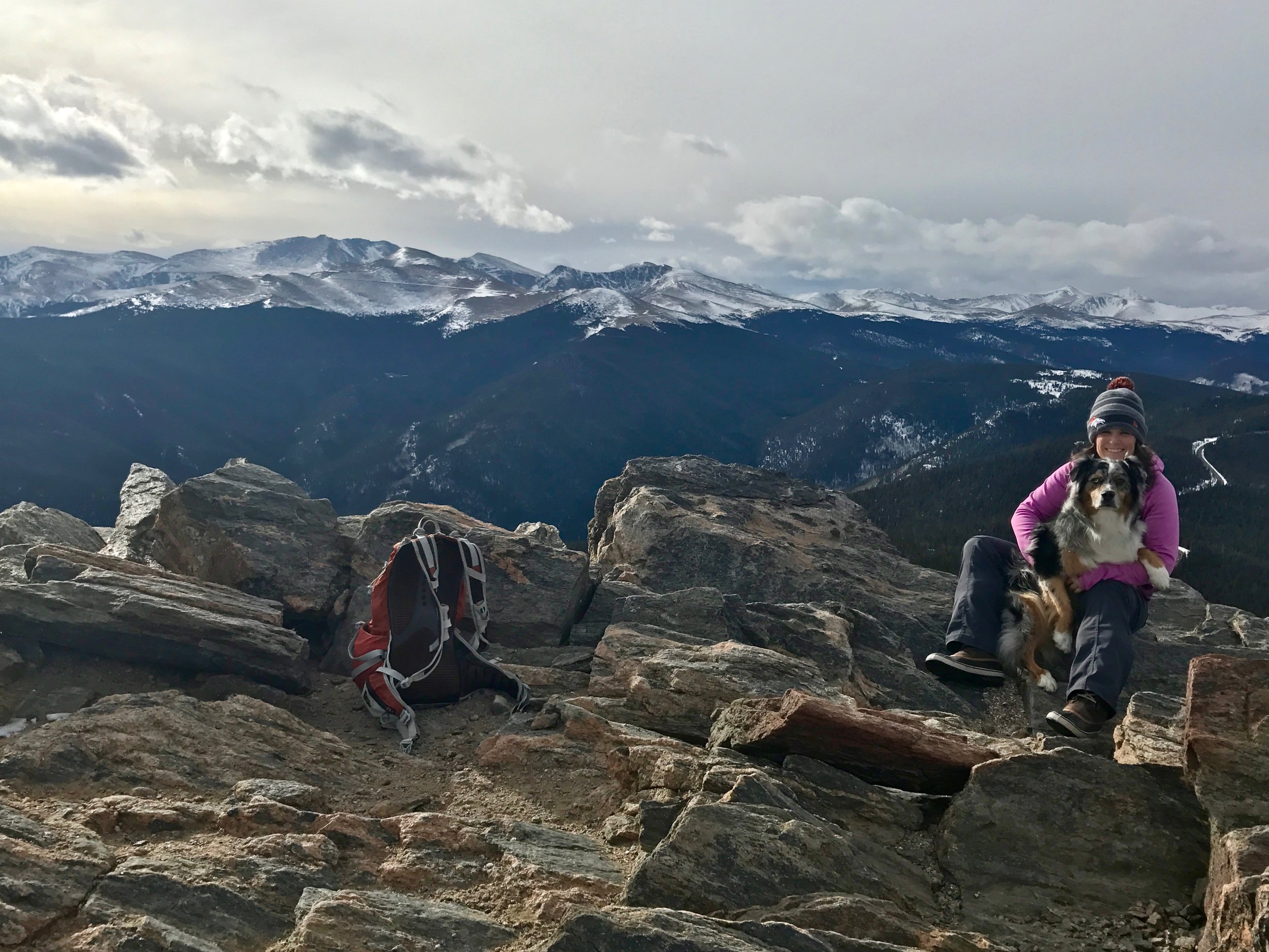
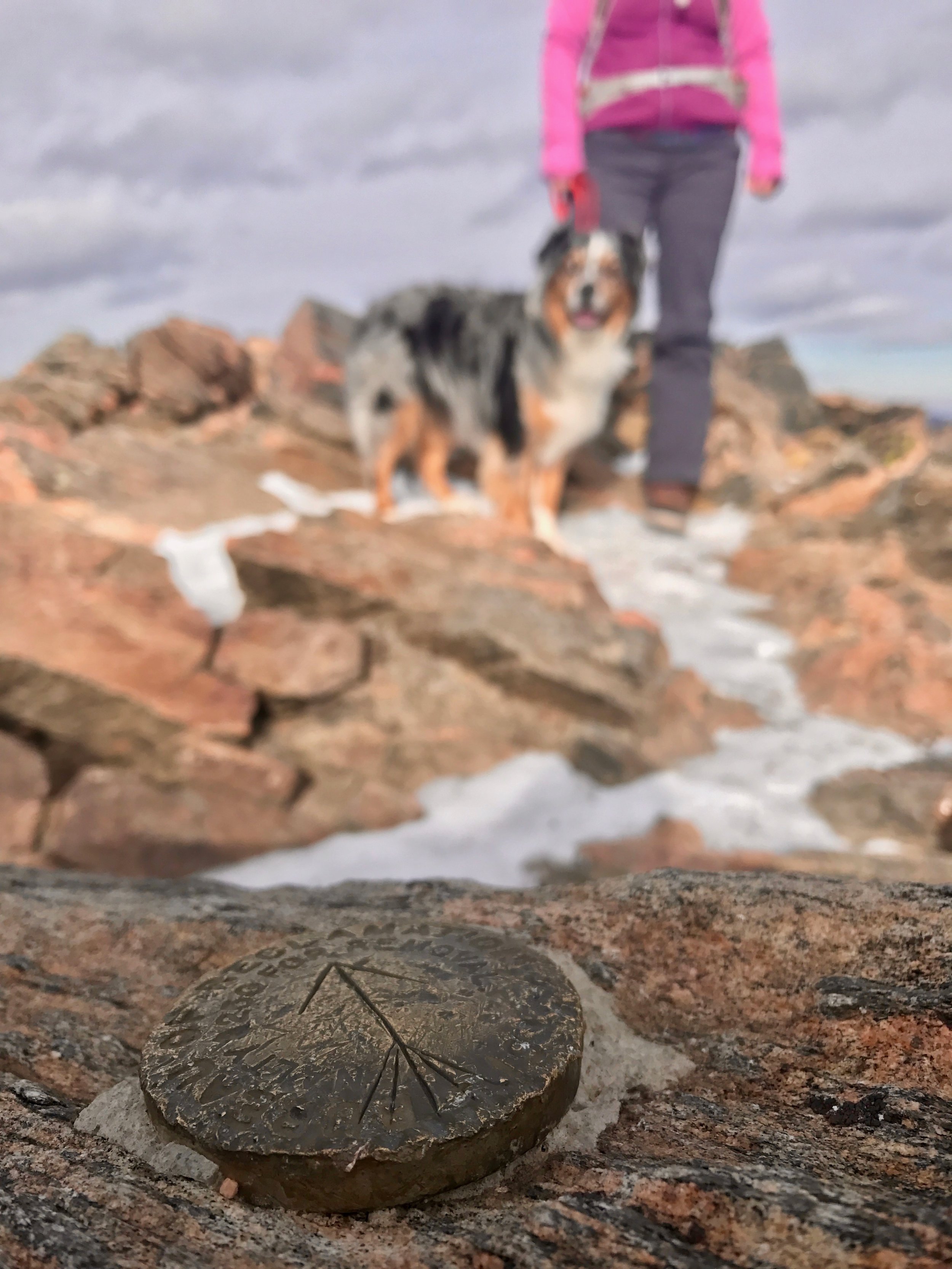
The summit block required a tricky scramble, but on top the reward was plain to see. The nearby summit of Squaw Peak with it's summit fire lookout and radio antennas squatted to the East, the broad shape shielding an open view back to the metropolis of Denver. The historic profile of Pike's Peak, America's original "purple mountain majesty", stood grandly above the haze to the south. Facing west, the high slopes of Mount Evans, it's paved road slashing the east face seemed close enough to touch! And back to the north, under a low ceiling of cloud cover, the foothills, stacked up against the snowy flanks of the peaks of the Continental Divide. Somewhere below, the old mining town of Idaho Springs was tucked into the valley of Clear Creek.
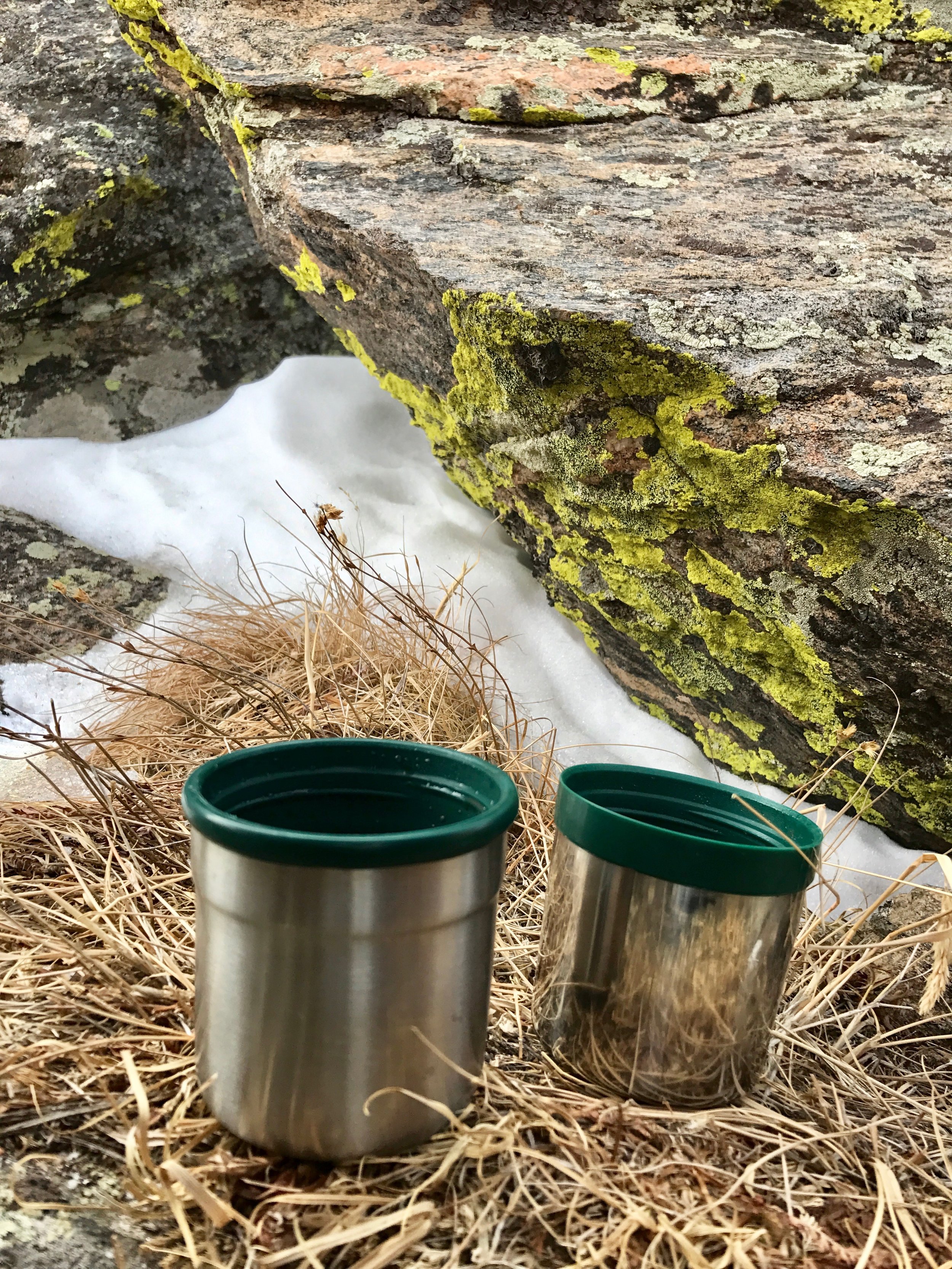
The wind, while not screaming past on this day, still chilled us while we took in the view so we retreated from the summit and found a seat among other rock outcrops where we could treat ourselves with some hot chocolate and treat Wembley with a few liver-bits. With the kind of satisfaction only experienced after reaching the top of a wild mountain, we shouldered our packs once more for the trip down. We retraced our steps to our snowshoes, but rather than strapping back in, we decided to stow them on the outside of our packs as the footing in the softened snow was safe. After a couple switchbacks we spotted a glissading track descending straight down from the trail that we had noted on the way up. To Wembley's confusion we plopped down on our behinds and slid along the luge-style furrow, whooping all the way until intersecting the trail far lower down the mountain. The shortcut provided a shorter and extra-fun option on the way out. Gravity further helped the rest of our effort and we quickly returned back to the trailhead where we piled back into the Subaru for the trip back to civilization. We both agreed that the day on the trail was perfect. Chief Mountain combines challenge, wilderness, and proximity into a unique experience especially ideal on days when you are short on time or when the trip to ski country is bound to be overcrowded.
Of note, Echo Mountain Ski Area, just below the trailhead has gone through many revolutions in its history. Initially known as Squaw Pass Ski Area, its hey-day faded after the completion of the Eisenhower and Johnson tunnels on I-70 in 1973 made it easier for folks on the Front Range to get to Breckenridge, Copper Mountain, and Vail. After its most recent stint as a private ski area for ski race training, it is now opening again to the public. As I write this post the area is getting hit by a big storm that should allow it to open on time for the 2017ski season. I'd like to try this local spot out, enjoy the history of the place, and support a mom-and-pop destination that doesn't get the attention of the higher-profile options farther West.
Your Turn
To reach the trailhead, leave Denver on Interstate 70 and continue to exit 252 for Evergreen/Colorado 74. After about three miles, turn right at the light, on to Squaw Pass Road/Colorado 103. Begin looking for the pullout on the right side after 12 miles on Squaw Pass Road. This is just after the road turnoff down to Echo Mountain Ski Area. A new sign marks that Echo Mountain turnoff making it much easier to identify.
The trail can be found on the south side of the highway opposite the pullout trailhead. It is located nearest the eastern end of the pullout and heads up from there.
Peak and Plain Extra
Toast your adventure at El Rancho Brewing Company, a resurrected restaurant and event site located near the junction of Interstate 70 and Colorado 74 on Rainbow Hill Road. You can feel extra pleased while guzzling your I(70)PA india pale ale and chowing down on sweet potato tots because each year they host a fundraiser, Brews for Rescues, complete with the exclusive "Gone Astray IPA", for the Alpine Rescue Team, the folks who may come and save your butt if you run into trouble up on Chief Mountain. Cheers!
