Chasing Sunset
/Highline Canal Bike Ride
I've taken a break from running to allow some healing to take place and to transition my focus to a training plan for the American Birkiebiener, a 50k nordic ski event I'll be participating in this February. This has given me a chance to mix things up from my typical routine of running. Today that meant swapping my two shoes for two wheels and going for a late afternoon bike ride. Denver is generously dissected by ribbons of smooth concrete, asphalt, and graded gravel trails perfectly suited for exploring by bike. My ride today would feature two of the more popular trails: the Cheery Creek and Highline Canal Trails.
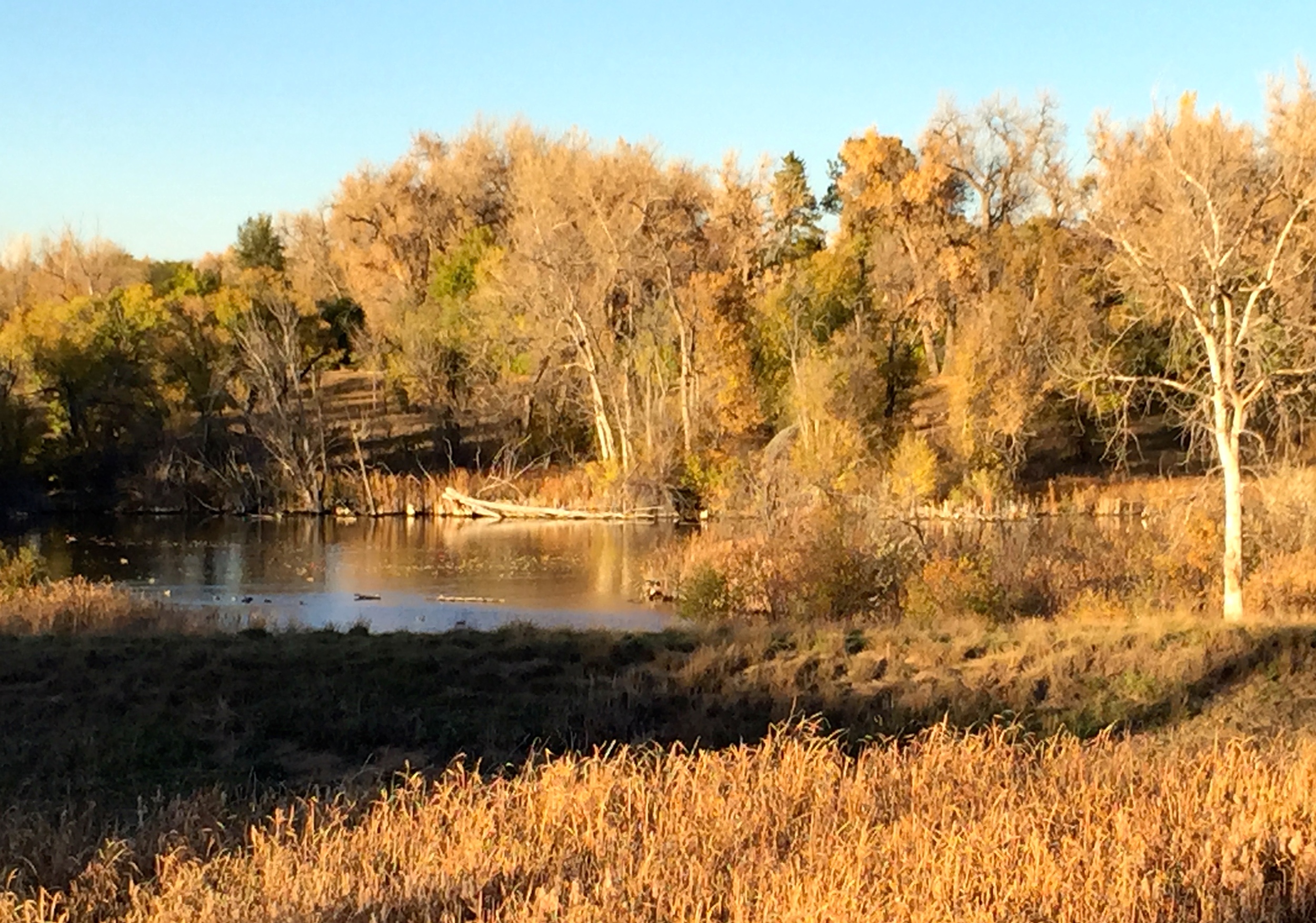
The ride starts at Confluence Park by REI near downtown Denver. Biking across the South Platte River bridge signals the start of a 39 mile ride that only just scratches the surface of the hundreds of miles of bike paths maintained in the Denver Metro area. Cherry Creek trail follows along it's namesake for 12 miles passing by many Denver landmarks on the way out to Cherry Creek Reservoir. At the beginning the trail, constructed below grade, is walled by a flood control channel around creek. This is the most popular segment of trail in Denver, filled with cyclists, runners, walkers, and commuters through much of the day. At night the bridges of the streets overhead serve as shelter to some of the city's homeless. Pedaling along, the glass, concrete and steel buildings of downtown Denver float by above. The leaves of the trees lining the creek, at their color's peak, splashed the walls and parks along the trail with fiery reds, and yellows. After a few miles the trail comes up to street level and parallels Speer Blvd to Denver's swankiest shopping district at Cherry Creek. The trail sticks to sidewalks to scoot around the mall and then continues southeast past small parks and along a more natural segment of the creek shaded with large trees and lined by reeds and riparian plant life. The Four Mile historic Park just to the left of the trail captures life in frontier Denver including the oldest standing structure in Denver.
After about 10 miles the Cherry Creek Trail intersects with the winding Highline Canal trail and travelers have the option to take the Highline Northeast through Aurora or Southwest towards Littleton. This ride turns right to continue onto Highline Canal West and the surface changes form smooth concrete to rougher aging asphalt through this area.
The Highline Canal Trail meanders across the city in long lazy bends and curves. It makes for a very pleasant ride. From the junction with Cherry Creek Trail, the Highline loops around James Bible Park and Eisenhower Parks (bathroom facilities) to Colorado Blvd where it turns south, crosses Hampden Avenue at the light, and then a hard right on Jefferson where the trail rejoins the canal with gravel under your wheels instead of the asphalt and concrete. For this reason, you may choose a mountain bike with more rugged tires, though a road bike can complete this whole ride. This section, my favorite part of the trail, with its large cottonwoods, wide gravel tread, and horse farms set alongside affluent homes provides a picturesque escape from the more urban surroundings of Denver. Especially scenic are the vistas from Blackmer Commons and the Marjorie Perry Nature Preserve, where open wetlands offer dramatic views of the Front Range in the distance, with perhaps a fresh coat of early season snow.
Goodson Recreation Center at DeKovend Park, offers a brief respite to snack, visit the restroom (open to the public) and to figure out if, at my current pace, I could continue the ride as planned and make it to the train station with a little daylight left and with the trains still running. From a quick check at the maps, it appeared that about 30 more minutes of riding would get me to my final stop for the ride, the Littleton/Mineral Light Rail stop. The least pleasant trail segment for me comes in the next stretch where the trail crosses Broadway, a wide busy boulevard three times in quick succession with inevitably lengthy stops waiting for a chance to cross the road. Definitely a dangerous area, I make sure to cross with the lights. At Horseshoe Park I cut across the Lee Gulch Trail which looks worth exploring on a future trip. Just a few more slow trail bends and the trail finally meets Mineral Avenue. Taking a right onto the concrete path that goes downhill along Mineral avenue I ride right up to the Rail stop. My EcoPass for the Regional Transportation Department provides unlimited rides on most bus and rail routes in the area so I was able to just hop on the train for the easy 30 minute return trip back to Denver's Downtown. Wide bike lanes along 15th street make for a safe route to Wewatta and then a jog left there will return you to the Cherry Creek Trail close to REI to complete the Loop.
Your Turn
REI is easy to get to from anywhere in the city. Most parking in the area is pay-to-park. You can park at REI for up to 5 hours for $5.00. RTD Light Rail fees will cost $4.00 without a pass to get from Littleton/Mineral Ave Station to the Theatre District/Convention Ctr Station.. If you'd like to skip the transit, this ride can be completed by bike, by connecting to the South Platte River bike trail near the station for an additional 15 miles to return to REI.
P&P Extra
One of the advantages to starting this ride at REI is that you can stop in to get whatever equipment you might need (spare tire, energy gels, etc) from the completely stocked megastore. It occupies the building that used to serve as the powerhouse for the Denver Tramway Company that ran streetcars and trolleys around Denver from 1886 to 1950. Outside, you can take a short ride on one of those old trolleys along the South Platte River.

